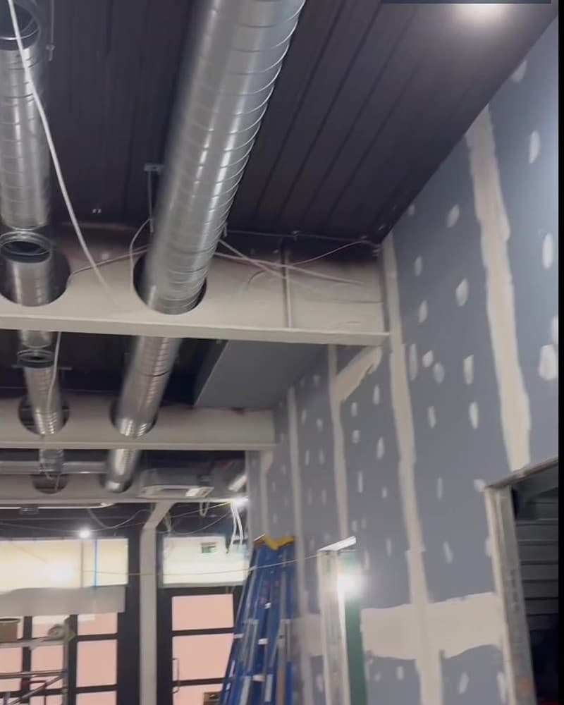
In refurbishment and fit-out work, the gap between the drawing and reality is where problems usually start. We know the Bamboo Mat space well as a model; on a recent visit we scanned it with a handheld LiDAR scanner to check that model against what is actually there.
One walk-through, scanner in hand
The site is captured as you walk it, with the scan building up on screen in front of you. The space was captured in a single pass.
Reviewing the captured information in a browser
Point cloud, site imagery and a plan view of the space were available in a browser session after the capture, with the scan route overlaid on the plan.
From walk-through to measured floor plan
Existing conditions were drawn from the capture the same day: a floor plan of the space as found, ready to be checked against the model and the construction drawings.
Why it caught our attention
Coordination is only as good as your picture of what is there. Capturing existing conditions this way narrows the gap between drawing and building on exactly the kind of project where that gap costs the most. BEIM scanned the Bamboo Mat space and can provide LiDAR scanning and existing-condition documentation for other projects.
Coordination is only as good as your picture of what's there.
How are you capturing existing site conditions on your projects? We would like to hear.